The blue dot on your maps app comes from signals sent by satellites thousands of kilometres above you: a plain-language look at how GPS really works, for students in Classes 6 to 12
A beginner-friendly guide to GPS for Indian school students, parents and teachers: what GPS and GNSS are, how satellites send timed radio signals, how trilateration turns distances into a position, why a receiver needs four satellites to fix its clock error, how atomic clocks keep time in space, what the receiver in your phone does, what affects accuracy, how assisted GPS, Wi-Fi and mobile towers help, India's NavIC and other systems such as GLONASS, Galileo and BeiDou, GPS in drones and robots, how maps apps work, safe location sharing, a string-and-map classroom activity and FAQs.
Introduction
You open a maps app and a blue dot shows where you are standing. This guide explains how GPS works in simple steps for students in Classes 6 to 12 and the parents and teachers helping them.
What is GPS?
GPS stands for Global Positioning System. It is a network of satellites run by the United States that lets a receiver on Earth work out its position, speed and the exact time, anywhere in the world, day or night.
GPS is one of several satellite navigation systems. Together they are called GNSS, short for Global Navigation Satellite Systems.
Satellites and signals
GPS satellites circle the Earth at a height of roughly 20,000 kilometres. The system is designed so that at least 24 working satellites are in orbit, so several are usually above the horizon from almost anywhere.
Each satellite keeps sending out radio signals. A signal carries two key pieces of information: which satellite sent it, and the precise time it was sent. Your phone only listens and sends nothing back, so GPS can serve any number of users.
Trilateration: finding your place with distances
Radio signals travel at the speed of light. Multiplying a signal's travel time by the speed of light gives the receiver its distance from that satellite.
Knowing your distance from one satellite places you somewhere on a huge imaginary sphere around it. A second distance narrows this to a circle, and a third to just two points, one usually far out in space. Finding a position from distances like this is called trilateration.
Why you need four satellites: the clock problem
The timing must be incredibly precise. Because light travels about 300 kilometres in a thousandth of a second, a clock error of just one millionth of a second would put you about 300 metres off.
Satellites carry atomic clocks, which are extremely accurate. Your phone has a simple, cheap clock that cannot keep time this well. So the receiver uses a fourth satellite to solve for its own clock error along with its position. Four satellites give four measurements for four unknowns: east-west, north-south, height and time.
Atomic clocks in space
An atomic clock keeps time using the very steady vibrations of atoms, such as caesium or rubidium. This stability is why satellite navigation depends on them.
Ground stations on Earth monitor the satellites and send corrections for their clocks and orbits. GPS time also helps keep mobile networks and power grids in step.
The receiver in your phone
Your phone contains a small GNSS receiver chip and antenna. It picks up weak signals, measures timings and calculates your position many times a second, using chips like those explained at sheepbyte.com/blog/what-is-a-microcontroller-guide-school-students-india.
Many modern phones can listen to more than one satellite system at once, helping them get a better fix.
Accuracy and what affects it
Under open sky, a phone can often find your position to within a few metres, but this varies by device and conditions.
Tall buildings can block or bounce signals, confusing the timing. Thick trees, tunnels and being indoors weaken signals. The upper atmosphere can slightly slow signals, and severe weather may sometimes have a small effect, though everyday clouds and rain usually matter much less than buildings.
Assisted GPS, Wi-Fi and mobile tower location
Assisted GPS, or A-GPS, gets a faster first fix by downloading satellite information over the mobile network.
Phones also estimate location from nearby Wi-Fi networks and mobile towers. This works indoors but is usually less precise. Your phone combines all these sources.
India's NavIC and other satellite systems
India has its own regional system, NavIC, short for Navigation with Indian Constellation. Developed by ISRO, it was earlier called IRNSS, the Indian Regional Navigation Satellite System. It is designed to cover India and the region around it rather than the whole world. ISRO has launched newer satellites to maintain it, and some phones sold in India support it. Check ISRO's official website for its current status.
Other systems include GPS by the USA, GLONASS by Russia, Galileo by the European Union and BeiDou by China.
GPS in drones and robots
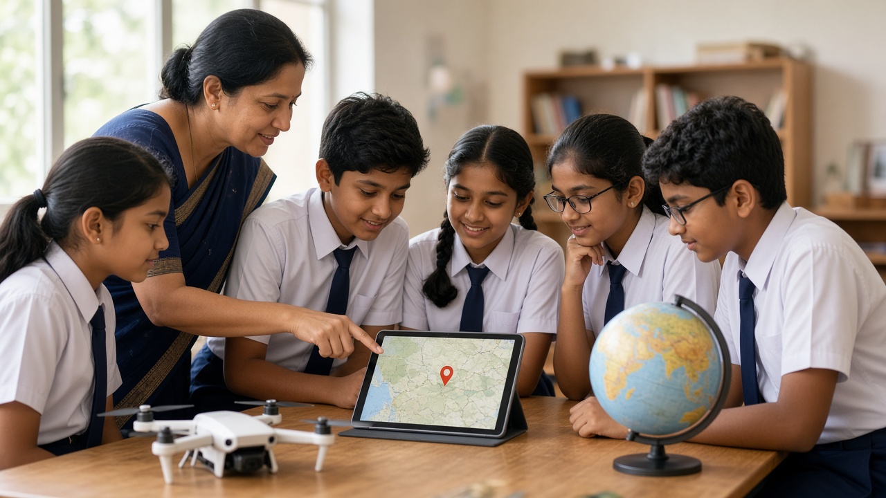
Many drones use GNSS to hold their position, return to their take-off point and follow planned routes. Learn more at sheepbyte.com/blog/how-do-drones-fly-guide-school-students-india.
Outdoor robots combine GNSS with cameras and distance sensors, because GNSS alone is not precise enough for every task and works poorly indoors. See sheepbyte.com/blog/robot-sensors-beginners-guide-school-students.
Maps apps
A maps app places your GNSS position on digital maps of roads and buildings, then calculates routes and may use traffic information to estimate travel time. The satellites only tell your phone where it is.
Privacy and safety: sharing your location
Your location can reveal where you live and study. Turn off location for apps that do not need it.
Share live location only with family or people you trust, and avoid posting your real-time whereabouts. More tips are at sheepbyte.com/blog/cyber-safety-kids-coding-ai-india.
Classroom activity: find the hidden spot with string
Secretly mark a spot on a printed town map. Give groups three "satellite" points and each one's distance to the spot, using the map scale. Students set a compass or string to each distance and draw circles. Where all three meet is the hidden spot. Then make one distance slightly wrong and discuss how timing errors move the answer.
Frequently asked questions
Q: Does GPS need the internet? A: No. Satellite signals reach your phone without internet, though maps apps may need data unless you save offline maps.
Q: Is GPS free to use? A: Receiving GPS signals is free. Any charges come from mobile data used by apps.
Q: Is this topic part of the school syllabus? A: India's National Education Policy 2020 encourages experiential learning, and many schools touch on satellites and maps in science or geography. What is covered varies by board and school, so check with your school or the official board website for current information.
Learn with SheepByte
SheepByte is an AI and robotics education company based in Udaipur, Rajasthan, working with schools and students. Our programmes include AI Learning, Coding Bootcamp, Drone Technology, Innovation Club, Robotics Lab and STEM Integration, all built around making real projects. We also set up robotics labs in schools and run workshops in Jaipur, Delhi and online.
To bring hands-on drone and robotics learning to your school or help your child take their first steps in technology, write to contact@sheepbyte.com or call or WhatsApp +91 75975 60225.